Other areas on the Isle of Skye
Date: 23-Sept-2011 to 03-Oct-2011
Map: Landranger 23 & 32
Weather: Various but predominantly wet!
A circular walk from the car park at the end of Loch Leathan, up through the woods to the Old Man. Ascending past Needle rock beneath the Storr to the escarpment. Then turn around to retrace steps : 3 miles – as measured by the Satmap.
I need a holiday was the shout from me – so we decided to chance our arm with the weather and plumped for a week or so in Skye. I’d seen lots of pictures from this wonderful Isle and was looking forward to visiting it. Unfortunately the weather turned out to be a little inclement, but that didn’t spoil the trip. I was a bit surprised when I tried booking accommodation online, as many places were already booked up. This was probably due to properties closing after the summer season, with the remainder booked up as a consequence, leaving me with a limited choice. This actually turned out to be a blessing really, we saw much more of the island, and ended up staying in 5 different places over nine nights. Each choice had it’s own charm and we were lucky that we enjoyed all of them.
It’s 400 plus miles from Manchester to Skye, a long drive via Stirling and Callander, but enjoyable – to make it less of a chore we stopped overnight at the Lime Tree in FortWilliam. I’ve stayed here before when completing the West Highland Way in 2008, and it’s really comfortable with good food in the restaurant. I’ve always found Fort William a little bleak and the wet weather didn’t help. After a decent breakfast we took the road to Mallaig to catch the 10:45 ferry over to Armadale, taking a detour around the coastal route closer to Mallaig. It’s a lovely change to get away from masses of traffic and makes for a much more relaxing drive – a theme of the following week.
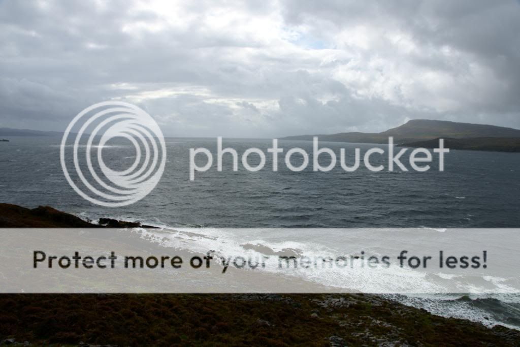
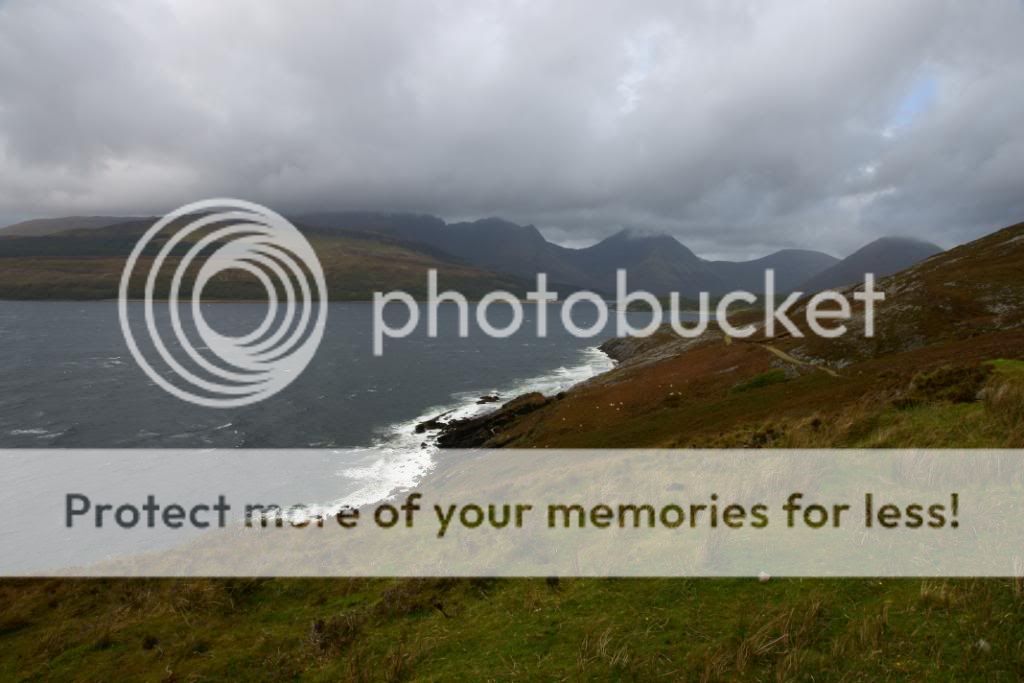
The ferry across to Skye takes around 30 minutes and the crossing was not too rough. We were also first on and first off so we had a clear road ahead, not that we were in a hurry mind you. Our first two nights were in Broadford, so after dumping our bags we set off along the road to Elgol for a look at the ‘finest view in Britain’. The weather was changeable with low cloud and showers rushing through, as we stopped at the church ruins of Suardal, with fine views over to the Red Cuillens. The road to Elgol from Broadford has many places to stop and ponder, with plenty of historical interest, and good photo opportunities.
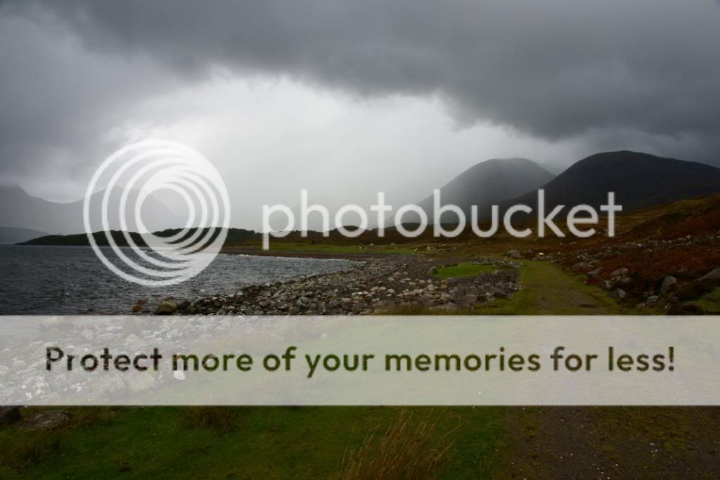
We had a short 5 mile walk to Suisnish, one of the many highland clearance settlements, from the beach at Camas Malag, and this was mostly along a good track. It was a little boggy inplaces and there are still traces of peat cutting here and there – fresh turf for the coming winter. It rained quite a bit and we could see it coming along up Loch Slapin, obscuring the views over to Bla Bheinn, the other side of the loch. But despite the wet it was a pleasure to have a walk, and we ducked out of the worst showers into an old tin roofed croft. The interior was a little gloomy, and the dead sheep for company not great, but it kept us dry.
We made a dash back along the same route to get back to the car and have some lunch before journeying on to Elgol. At Elgol, the best view was a little obscured by cloud topping the Cuillens, but cleared a little before we headed back along the road to Broadford. Not a bad start to the week.

Mallaig harbour - plenty of fishing smacks tied up due to the weather
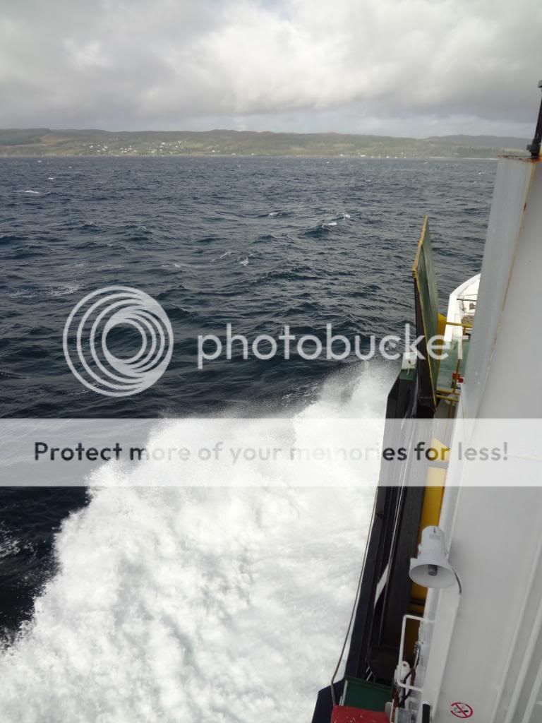
not too rough on the journey over to Armadale
 leaving
a very cloudy Glen Shiel behind
leaving
a very cloudy Glen Shiel behind

a nice coastal road on the way to Armadale
 just
out of the port looking over to Sleat
just
out of the port looking over to Sleat
 coming
in to dock at Armadale
coming
in to dock at Armadale
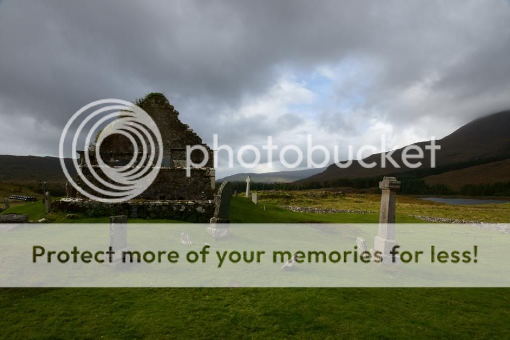
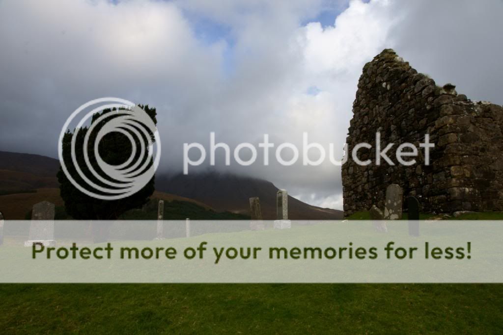 the
church ruins at Suardal
the
church ruins at Suardal
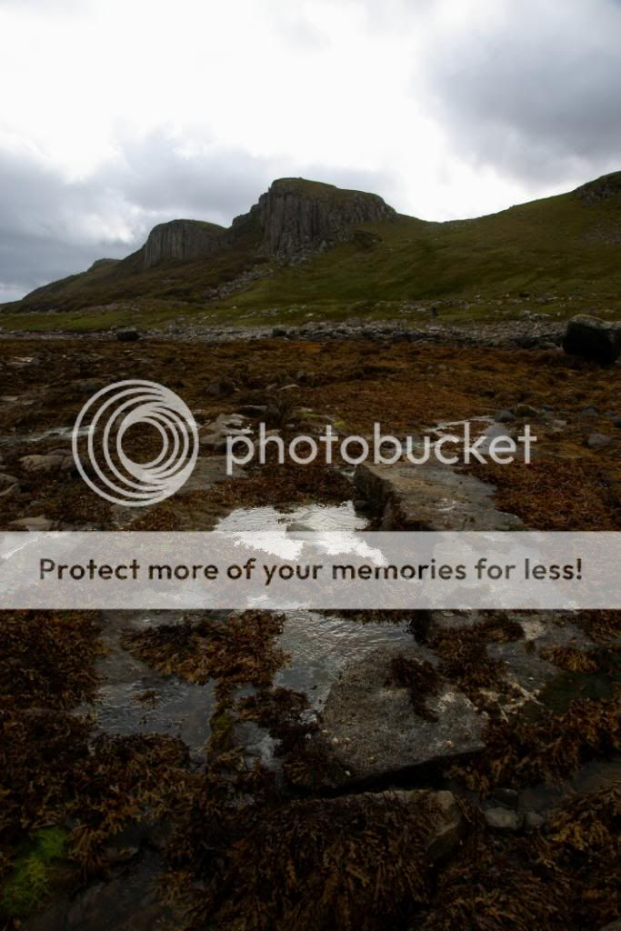
 the
Red Cuillens are up to the right
the
Red Cuillens are up to the right
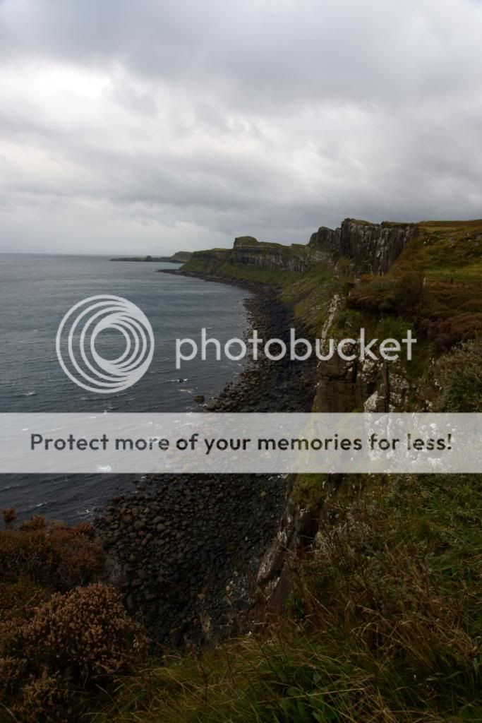
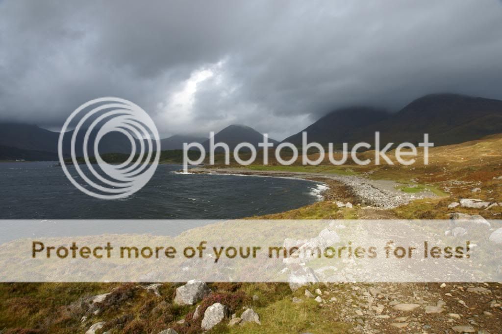 the
track around from the beach at Camas Malag, with the Black Cuiullens beyond
the
track around from the beach at Camas Malag, with the Black Cuiullens beyond
 looking
down Loch Slapin to the south west
looking
down Loch Slapin to the south west
 the
path ambles along the coast, never too steep
the
path ambles along the coast, never too steep

a good track to follow
 fresh
peat cutting on the lower slopes
fresh
peat cutting on the lower slopes

the luxury interior of the old croft
 afforded
us some shelter from the rain
afforded
us some shelter from the rain
 back
at Camas Malag was wet..
back
at Camas Malag was wet..
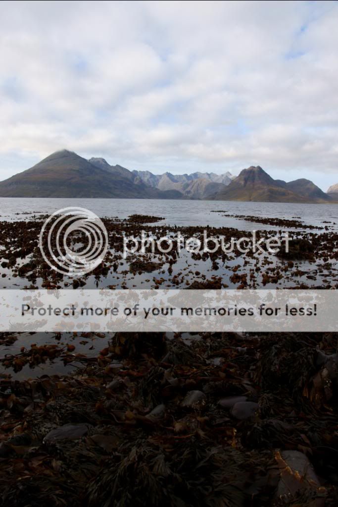
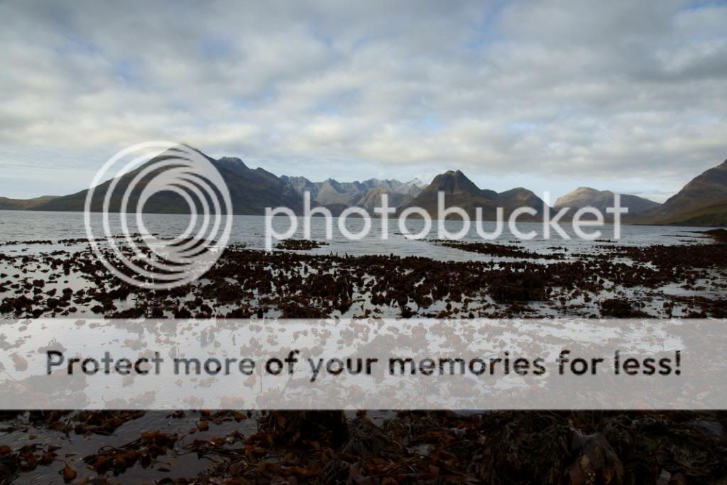
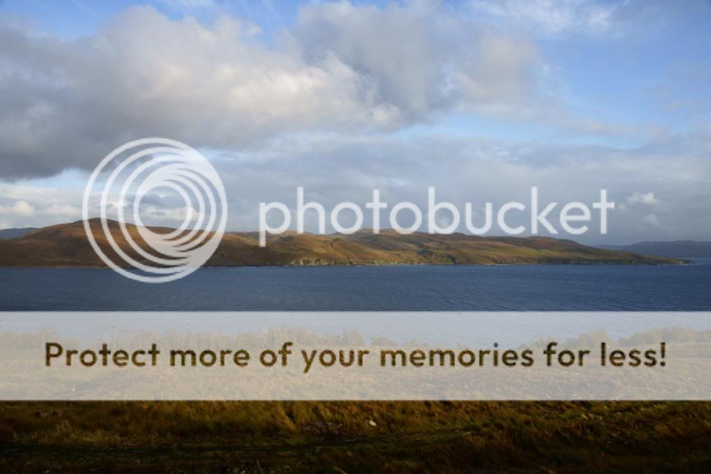 looking
across Loch Slapin from the Elgol road towards the Suisnish walk from left to
right and back again
looking
across Loch Slapin from the Elgol road towards the Suisnish walk from left to
right and back again
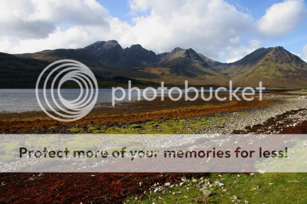
 the
Red Cuillens - Beinn Dearg Mhor and Beinn Dearg Bearg
the
Red Cuillens - Beinn Dearg Mhor and Beinn Dearg Bearg
The next few days after the Suisnish walk were a bit of a wash out, the occasional bright spots amongst the general ‘dreich’. A grand tour took us up to Staffin to search for the dinosuar print, followed by a visit to the delightful ‘Small and Cosy Tea House’ at Digg. The apple and cinnamon cake with earl grey tea was sublime, all served up by the lovely owner Petra – a great spot for a rainy day. We stopped to gawp at the Kilt Rock and waterfall tumbling over the high cliffs, and then drove back down through the rain to Broadford. At the head of Loch Ainort we were astounded to see the waterfalls in full spate, with a thundering rush of water – see the photograph from later in the week to compare!! – very frightening to see close up. After checking out of Broadford we had another drive along the Elgol road, hoping the coast was clear – and what an inspired choice that was. I ended up with some superb pictures, and one that will be stuck on the wall for many years to come. Once I’d canned some extra shots at Elgol (testing out some new graduated filters for my camera) we took leisurely tour up the west coast of Skye once we had driven beyond Sligachan. The view back to the Black Cuillens was superb, and the sun did try to come out now and again.
a burial cairn at Suardal backed by the Red Cuillens
 looking
across to Bla Bheinn from Loch Cill Chriosd on the Elgol road
looking
across to Bla Bheinn from Loch Cill Chriosd on the Elgol road
 showers
cross Bla Bheinn and Loch Slapin
showers
cross Bla Bheinn and Loch Slapin

I took a few pictures as quick as I could
 this
being the best - probably of the whole trip
this
being the best - probably of the whole trip
 the
Black Cuillens from Elgol beach
the
Black Cuillens from Elgol beach

I took plenty of these and realised I need a spirit level for my camera

a great mix of weather

I was experimenting with filters as well
 zooming
in on Sgurr na Stri
zooming
in on Sgurr na Stri

inshore boats on Loch Slapin
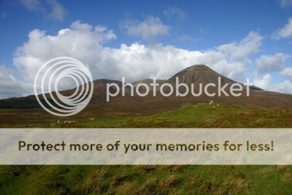
 Bla
Bheinn - I didn't get a chance to go up here
Bla
Bheinn - I didn't get a chance to go up here

a zoomed in shot to one of the stone chutes
 gone
are the rainbows - Bla Bheinn across Loch Slapin
gone
are the rainbows - Bla Bheinn across Loch Slapin

one of the Highland Cows along the Elgol road - they're quite docile really
 but
I wouldn't fancy being on the end of one of those
but
I wouldn't fancy being on the end of one of those
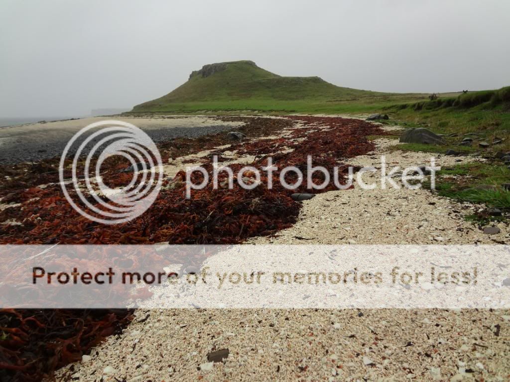
 cobbles
on Elgol beach
cobbles
on Elgol beach

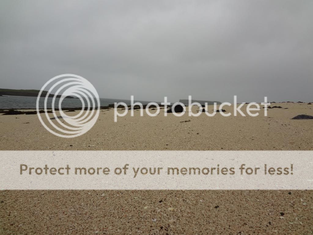
the view out to the islands of Rum and beyond
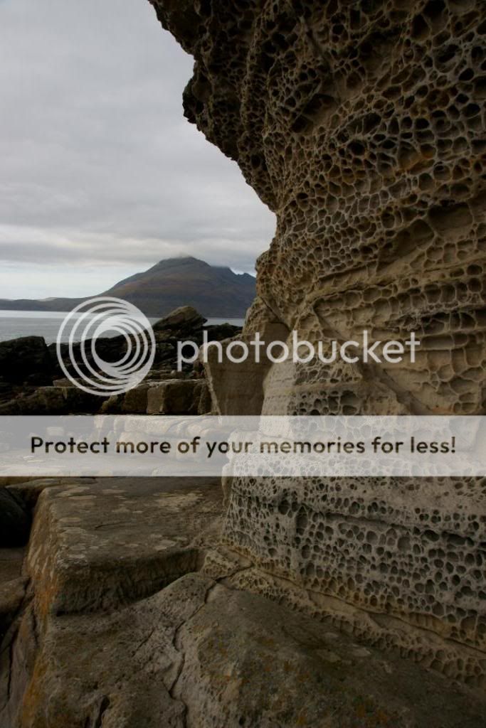
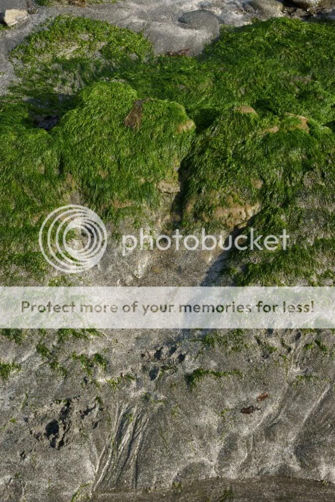
plenty of intersting outcrops along the beach - honeycomb weathering on this cliff

some of the coast is easy to walk along
and some is a little slippery at times
 trying
out my camera filters for the first time
trying
out my camera filters for the first time

Our next port of call was to stop off at the B&B in Glendale before trotting off to have a look at Neist Point. We stayed a couple of nights at ‘Carters Rest‘ in the self catering portion, and again it was delightful. We did miss out on the Northern Lights one night, but I’d had a glass or two of vino so wasn’t in a fit state of mind. One of the neighbours did capture it with a long exposure shot, so that’s another excuse for me to revisit Skye next year.
The day after Neist Point was really ‘dreich’ and we spent all day wandering around in the car. I had a 2 mile walk in the rain to visit the ‘Coral Beach’ – made up of crushed shells and resembling a ‘coral beach’ from afar. I must return in the sunshine to enjoy it’s ambiance in a better light!!

looking back to the Pinnacle Ridge of Sgurr na Gillean from the Dunvegan road
 Macleod's
Tables from near to Dunvegan
Macleod's
Tables from near to Dunvegan
 Waterstein
Head from the path down to Neist Point
Waterstein
Head from the path down to Neist Point

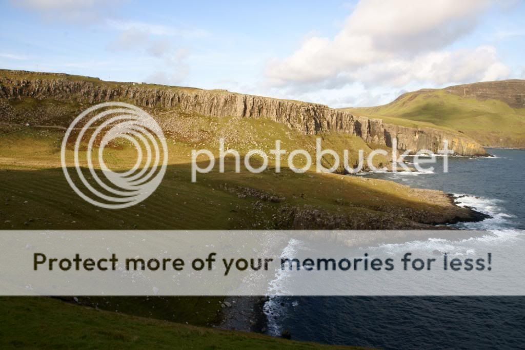
some impressive cliffs of lava
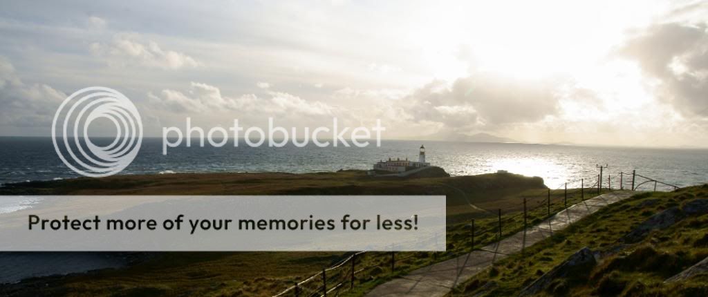 Neist
Point lighthouse
Neist
Point lighthouse
 some
'Runrigs' above the beach at An t Aigeach
some
'Runrigs' above the beach at An t Aigeach
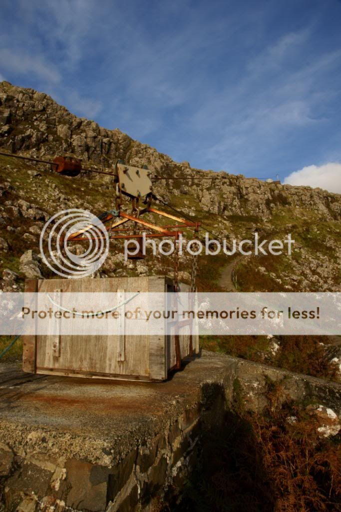
the old winch and pulley wire to serve the Neist Point lighthouse

the nearest to a sunset that I got up north
 the
soggy road to the Coral Beach
the
soggy road to the Coral Beach
 there
it is in the distance - wind and rain at my back
there
it is in the distance - wind and rain at my back
 point
and shoot with the compact
point
and shoot with the compact
it will be lovely on a clear sunny day
 lots
of broken shells and seaweed
lots
of broken shells and seaweed
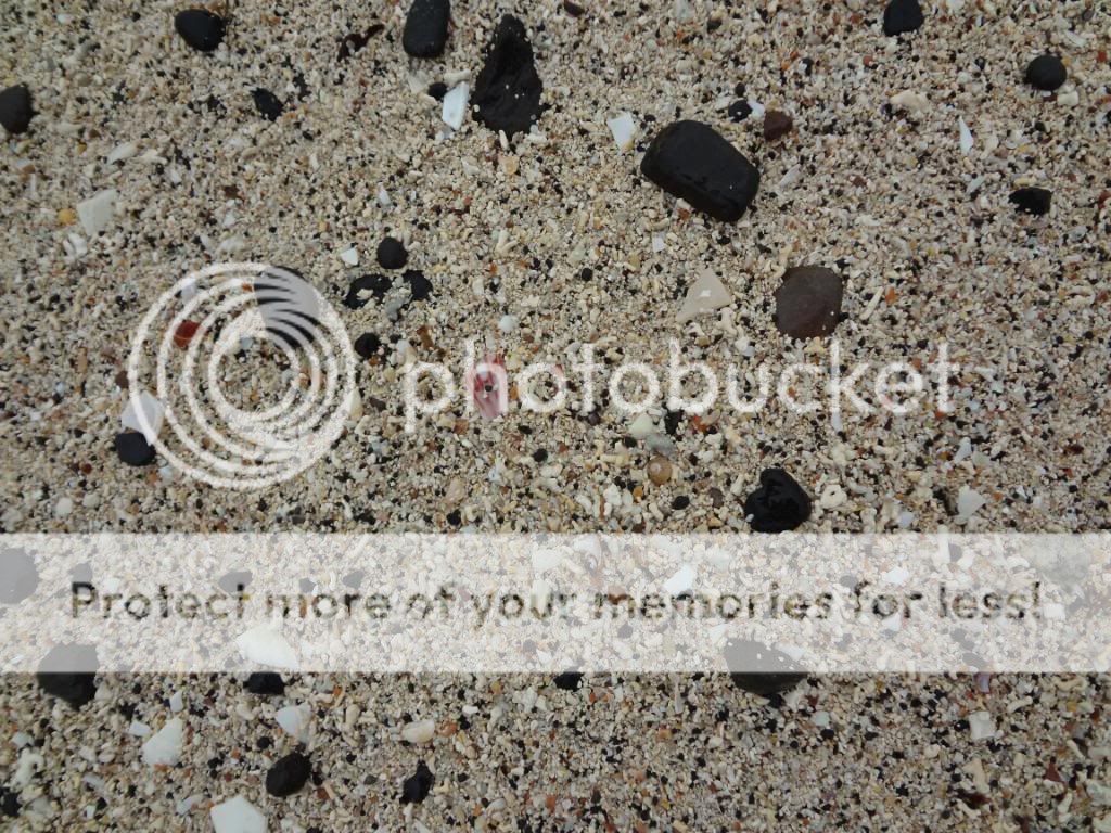
a close up of the surface
 nice
and sandy though...well shelly anyway
nice
and sandy though...well shelly anyway
I think you can walk over to the island on the left when the tide is out
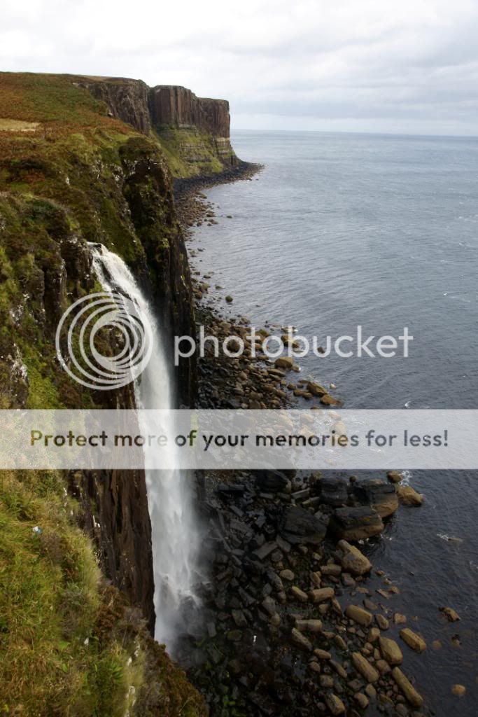
Kilt Rock beyond the waterfall at Loch Mealt
and the view the other way
searching for dinosaur footprints at Staffin beach
 looking
north to the Quirang from Staffin - Rubha Garbaig
looking
north to the Quirang from Staffin - Rubha Garbaig
 the
Quirang on a soggy day
the
Quirang on a soggy day
 old
field patterns near to Uig
old
field patterns near to Uig
 untethered
nature - wow
untethered
nature - wow

very frightening close up

fairly noisy as well

compare this with the one below

the normal flow a few days later
the partially exposed dinosaur footprint - there are 24 around here somewhere
 I
cleaned it up a little with seawater
I
cleaned it up a little with seawater
 the
small and cosy teahouse at Digg
the
small and cosy teahouse at Digg
 a
lovely sunset down at Elgol
a
lovely sunset down at Elgol
 very
peaceful when I took these
very
peaceful when I took these
 with
the sky getting more colourful by the minute
with
the sky getting more colourful by the minute
 the
sun setting over Soay
the
sun setting over Soay
 night
night
night
night

cloud starting to pour over the Black Cuillens